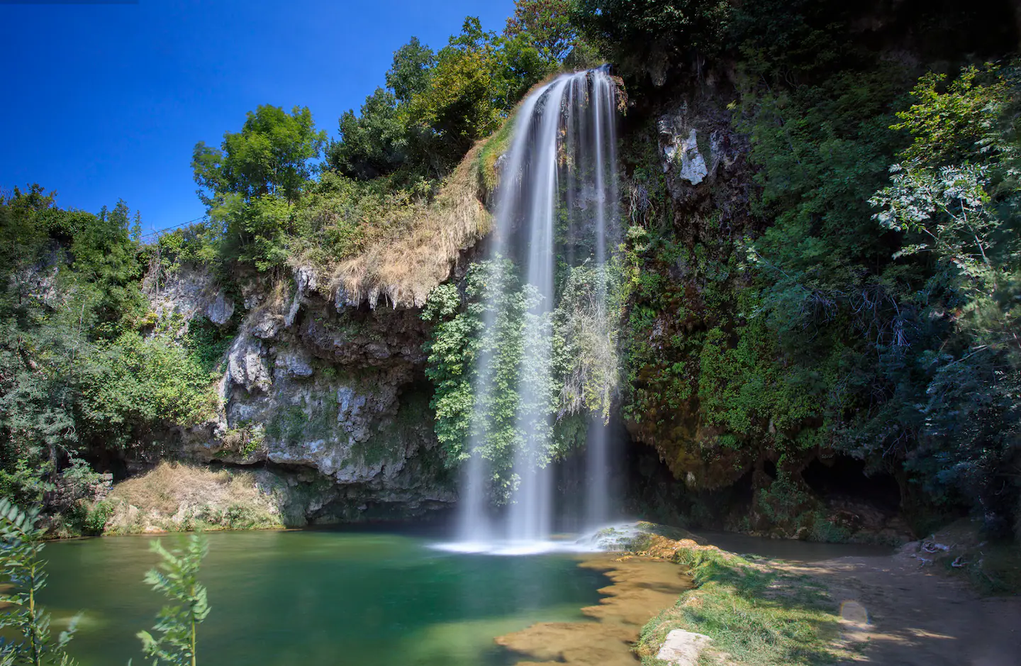
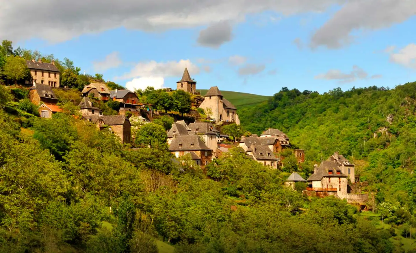
The trails around Conques are among the most beautiful I've ever walked. Deep gorges cut into schist, chestnut groves and heather heathland, vertiginous views over the Dourdou valley, villages roofed with schist slabs: each outing has its surprises. And best of all: two of them start in Grand-Vabre, the cottage's own village, and the other three in the village of Conques, a 7-minute drive away.
Here are five waymarked routes, for all levels.
1. Monédiès: the loop from Grand-Vabre
This route starts opposite the town hall in Grand-Vabre, the cottage's own village. You cross the Dourdou at the Miquel bridge, then a fitness trail runs along the river. The path then makes its way through the woods to the Monédiès chapel, fords a stream and heads up towards La Linière (view over the valley). You come down a very steep zigzag path through the chestnut groves, then return to Grand-Vabre along the Stations of the Cross path. The tourist office leaflet also lists it as open to mountain bikes and horses.
- Starting point: opposite Grand-Vabre town hall
- Distance: 9 km loop
- Ascent: 322 m
- Duration: 3h
- Level: medium, with a very steep descent
2. The GR 65: in the footsteps of St James pilgrims
The GR 65, the St James's Way to Compostela, has passed through Conques for centuries. Walking a few kilometres of this ancient route is to walk in the tracks of pilgrims who came from all over Europe. The stage towards Decazeville is particularly beautiful: you leave Conques down rue Charlemagne and through the Barry gate, cross the Dourdou on the pilgrims' bridge, then climb to the Sainte-Foy chapel and on to the ridge before reaching Noailhac. In the other direction, the GR 65 heads for Sénergues, Golinhac and Estaing.
- Starting point: village of Conques (7 min from the cottage)
- Distance: flexible: 6.9 km to Noailhac, 18.5 km to Decazeville
- Ascent: 394 m of climbing between Conques and Noailhac
- Duration: 1h to a full day
- Level: medium for the stage to Decazeville
3. La Vinzelle: views over the Lot valley
This loop starts at Les Cazelles, in Grand-Vabre. You first follow the road along the Lot to the old Coursavy bridge and cross it, then a steep path climbs through the woods towards La Bécarie farm, with superb views over the Lot valley and La Vinzelle. The way down to the stream is a very steep path where great care is needed. You then visit the village of La Vinzelle (church, Saint-Clair fountain, cobbled lane), and a path along the Lot brings you back to the Grand-Vabre bridge.
- Starting point: Les Cazelles, Grand-Vabre (recommended parking before the Grand-Vabre bridge)
- Distance: 9 km loop
- Ascent: 373 m
- Duration: 3h
- Level: difficult, with a very steep section
4. The Bancarel site: the family walk
It is the shortest walk on the list, with a superb view over Conques. It starts from the church square and takes rue Jérôme-Florens. The path drops towards the Ouche stream, then climbs through the chestnut wood to the Bancarel calvary, on the GR 62. From there you can see the village, the buttresses of the old ramparts, the Saint-Roch chapel on its rocky spur and the terraced vines. You come back the same way. With a little luck you may meet roe deer, squirrels or green woodpeckers.
- Starting point: church square in Conques
- Duration: 40 min (back the same way)
- Level: family walk
5. The Chemin de Dadon: for serious walkers
For those wanting a real full day's hiking, the Chemin de Dadon links Conques with Grand-Vabre and comes back along the other bank of the Dourdou. You leave Conques through the Vinzelle gate, pass Sainte-Anne, L'Herm Haut, La Borde, Glayrouse and Vielmont, then go down to the Notre-Dame de la Nativité chapel, known as the Dadon chapel, in Grand-Vabre. The way back crosses the Miquel bridge, follows the fitness trail along the Dourdou, then passes the Monédiès chapel, Le Périé and Aujols, before dropping down to Conques on the GR 65 via the Sainte-Foy chapel. The loop goes through Grand-Vabre, close to the cottage.
- Starting point: Conques, Étoile or La Salesse car park
- Distance: 21 km loop
- Ascent: 937 m
- Duration: 7h
- Level: medium, but a long day: good boots and supplies essential
Pierre has 1:25,000 IGN maps for all these routes and can print GPS tracks for you before you set off. He also knows the water sources and the best terraces to rest at mid-way.
Book your stayPractical information
- Equipment: hiking boots, plenty of water, hat in summer
- GPS tracks: the tourist office route sheets (PDF and GPX) can be downloaded at tourisme-conques.fr/randonnees, and gr65.tourisme-conques.fr is dedicated to the GR 65; the “Destination Conques Marcillac” topoguide is available at the Conques and Marcillac tourist offices
- Best period: April-June and September-November. Summers can be hot, winters wet but magnificent
- IGN map: Série Bleue 2338SB “Decazeville Marcillac-Vallon Conques”, 1:25,000
- With children: the Bancarel site (route 4) is a 40-minute family walk; La Vinzelle is rated difficult, with a very steep path down
- Trail running: the tourist office's Terra Trail routes (GPX and PDF tracks at tourisme-conques.fr/terra-trail), including no. 10 Grand-Vabre (21.1 km, 773 m of ascent, medium level), no. 7 Conques (9 km, 438 m) and the Conques Mini KV (1.9 km, 315 m)